Airborne Data Services
At Spectra33, we deliver comprehensive solutions to transform your data into impactful intelligence. From cutting-edge sensor platforms to AI-powered analytics, our services unlock the value in your scientific and industrial aerial datasets to drive discovery, optimize operations, and inform mission-critical decision-making.
Explore our core capabilities below, including advanced remote sensing hardware, sophisticated geospatial mapping and visualization tools, and our flagship AI processing and analytics platform. Our team of experts is ready to partner with you and customize our offerings to meet your unique challenges and accelerate your most important work.
Sensor Integration & Fusion
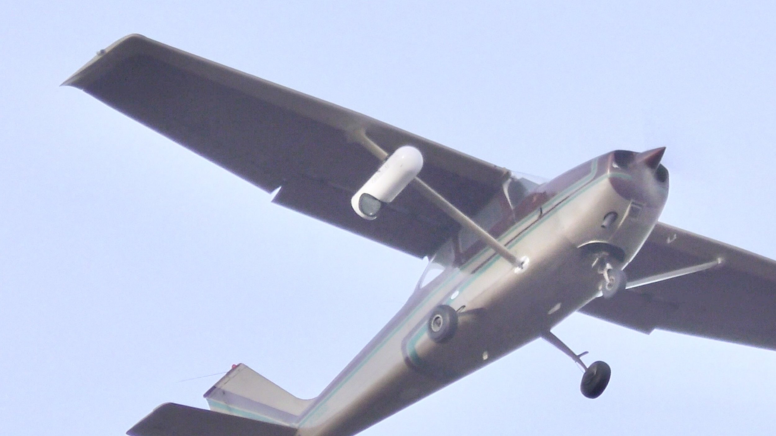
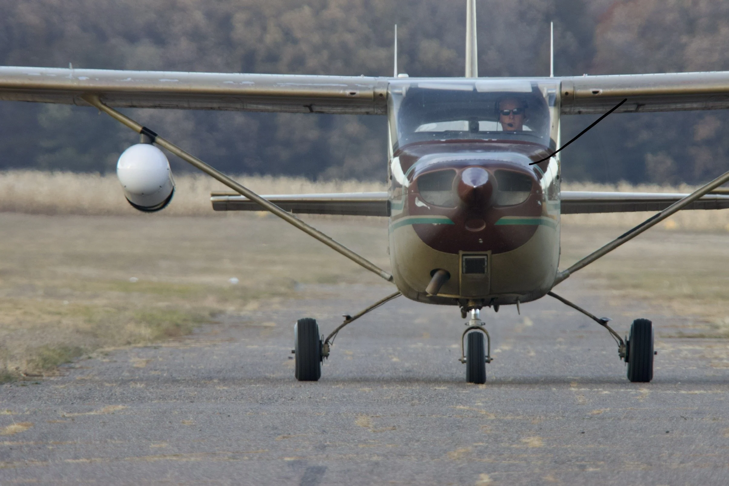
At Spectra33, we excel in integrating and fusing multiple advanced sensors into our specially outfitted aircraft. Our aircraft are equipped with onboard computers designed to capture highly accurate spectral and spatial airborne data. By combining data from various sensors, we provide comprehensive and actionable insights for our clients.
Data Acquisition Services
Our experienced team works closely with clients to design customized flight mission profiles, ensuring efficient and precise data acquisition. Leveraging advanced software and cutting-edge sensors, we deliver reliable, gap-free results tailored to your unique needs, anywhere in the world.
AI Processing & Analytics
Leveraging advanced algorithms and the expertise of our data science team, we extract meaningful intelligence from your sensor data to power groundbreaking research, optimized operations, and mission-critical decision-making.
Sensor Integration and Fusion
At Spectra33, we excel in integrating and fusing multiple advanced sensors into our specially outfitted aircraft. Our aircraft are equipped with onboard computers designed to capture highly accurate spectral and spatial airborne data. By combining data from various sensors, we provide comprehensive and actionable insights for our clients.
Our typical sensor suite includes:
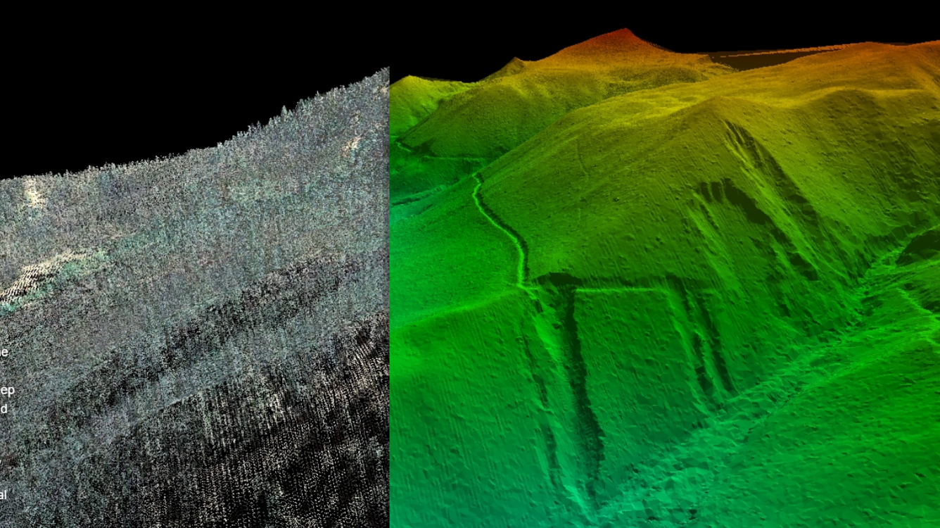
LiDAR: High-resolution 3D mapping and terrain modeling
Multiple high-resolution RGB cameras: Detailed aerial imagery and photogrammetry
IR thermal: Detection of temperature variations and heat signatures
Hyperspectral: Identification of materials and substances based on their unique spectral signatures
Multispectral (4-Band): Analysis of vegetation health, land use, and surface features
Tunable Diode Laser Absorption Spectroscopy (TDLAS): Precise measurement of atmospheric gases and pollutants
Optical Gas Imaging (OGI): Visualization and quantification of gas leaks and emissions
Our expert team of engineers and technicians ensures seamless integration and calibration of these sensors, allowing for efficient data collection and processing. With our cutting-edge sensor fusion capabilities, we deliver unparalleled insights and solutions tailored to your specific needs.
Data Acquisition Services
At Spectra33, we understand that every client's needs are unique. That's why we work closely with you to design a customized flight mission profile that ensures success and efficiency. Our experienced team leverages sophisticated software to plan and execute missions with unparalleled precision.
Mission Planning & Execution
Collaborative mission design tailored to your specific requirements
Advanced software for optimal flight path planning and complete area coverage
Real-time monitoring during flight missions to ensure gap-free data acquisition
Flexible deployment options to serve clients worldwide
Whether you need data for environmental monitoring, infrastructure inspection, or research purposes, Spectra33 has the tools and expertise to deliver. Our commitment to client satisfaction and data integrity sets us apart as your trusted partner in aerial data acquisition.
AI Processing and Analytics
At Spectra33, we harness the power of cutting-edge AI and geospatial data analytics to transform the massive amounts of sensor data collected through our remote monitoring platforms. Our team of expert data scientists use the latest software tools to meticulously process, analyze, and uncover the deep insights hidden within your scientific and industrial datasets.
Through this rigorous AI-powered analysis, we're able to produce comprehensive reports and interactive visualizations that unlock unprecedented understanding of complex physical phenomena and operational performance. Some key capabilities of our AI processing and analytics include:
Advanced data ingestion, cleansing, and normalization from disparate sources
Predictive modeling, anomaly detection, and root cause analysis
Multidimensional data fusion and sensor fusion algorithms
Automated reporting, dashboard generation, and geospatial mapping
Geospatial analysis and change detection for environmental monitoring
By leveraging the full potential of your data through AI and GIS, we empower you to make mission-critical, data-driven decisions that drive scientific discovery and optimize industrial operations. Our team of experts is standing by to help you unlock the value in your sensor data.


